| Title: | Red Lake |
| Area: | Olallie Scenic Area |
| Size: | 8 Acres |
| Depth: | 8 Feet |
| Elevation: | 4600 Feet |
| Elevation_Gain: | 1000 |
| Snow_Free: | Jun 09 |
| Camp_Sites: | 3 |
| Trail: | Red Lake Trail |
| Misc: | Last stocked in 2001 with brook trout. |
| Difficulty: | day hike |
| Notes: | The Red Lake Trail, passing by a number of lakes in the Olallie Scenic Area, gets little use, particullary from its west trailhead.
The Red Lake Trail was formerly known as the Cub Creek Trail, which branched off of the long Rho Ridge Trail |
| Trail_Number: | 719 |
| Route: | From Detroit take the Breitenbush Rd 46, turn right on Rd 380 |
| TH_Access: | May 07 |
| TH_elevation: | 3600 |
| Alt_trail: | #719 Red Lake Trail from Olallie Lk 5.6 mi |
| Distance: | 1.6 |
| Features: | solitude |
| USGS_15: | Breitenbush Hot Springs |
| USGS_75: | Olallie Butte |
| Reference: | Lakes of Oregon vol 5 / Olallie Scenic Area Guidebook by George / 100 Hikes Northwest Oregon by Sullivan / Complete Angler's Guide to Oregon by Shewey |
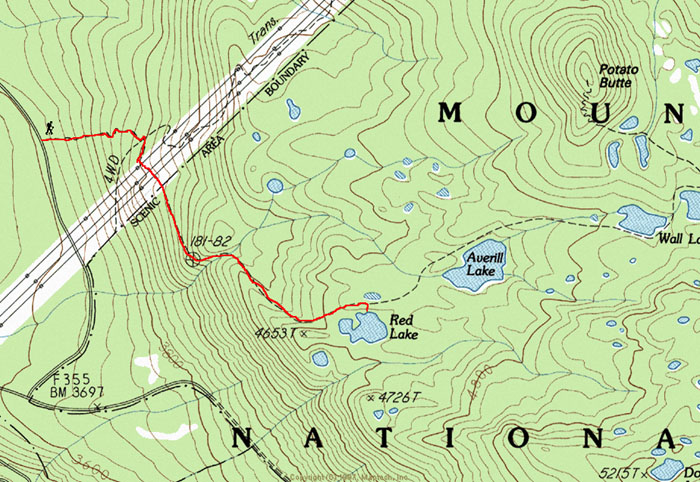
TIP: The trickest part of this trail comes just before crossing under the power line. Here is the tip----when you come out of the timber to a road, zig left and then right. On the second zig go twice the distance to pick up the trail on the left side going through the war zone created by the power lines. Look for rock carins and tape when making the zigs. Also keep an eye out for Red Lake itself as the junction off the main trail is poorly marked. |
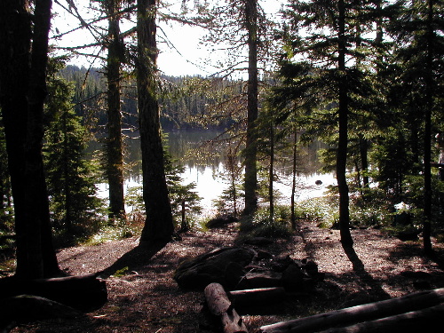
campsite at Red Lake - - November 3, 2001 |
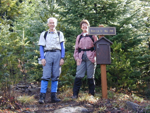
Trailhead for Red Lakes Trail on forest service road #380 |
| Type: | Lake |
| Day_Hike: | yes |
| Solitude: | yes |