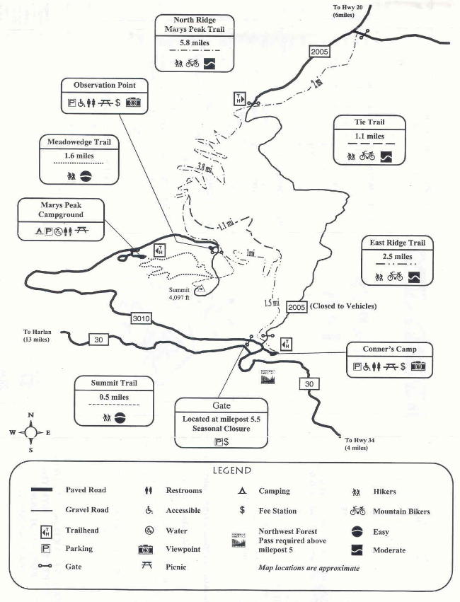
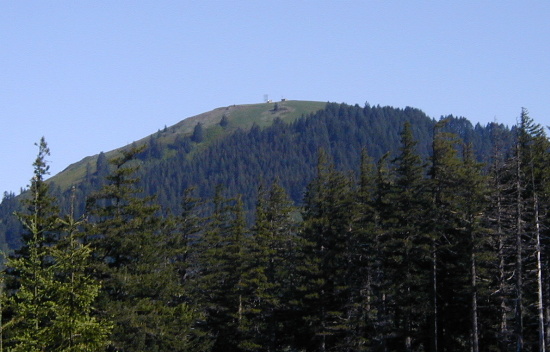
| Title: | Marys Peak |
| Area: | Siuslaw National Forest |
| Elevation: | 4097 Feet |
| Elevation_Gain: | 1537 |
| Camp_Sites: | 6 |
| Trail: | East Ridge Trail |
| Misc: | Northwest Forest Pass now required to use Marys Peak parking lots. |
| Links: |
Marys Peak Campground
Trip Journals - 7/4/01, 5/30/02, , 10/4/05, 5/31/14 |
| Notes: | Marys Peak has trails for all level of hikers. It can be a simple walk of a little over a half of a mile from the parking lot on a gravel road to the summit. It can also be a pleasant two mile plus hike through the forest from the campground. A third possibility (the one detailed here) can be a medium hike up the East Ridge Trail for a six miles loop. And for the hardy, there is the almost nine mile round trip trek up the North Ridge Trail. |
| Route: | From Philomath take Hwy 34 west for 10 miles to Marys Peak Rd, continue 5.5 miles to Conner's Camp parking lot. |
| TH_elevation: | 2560 |
| Alt_trail: | North Ridge Trail from Woods Creek Road 4.3 miles, 2297' elevation gain |
| Distance: | 3.0 |
| USGS_75: | Marys Peak |
| Reference: | 100 Hikes Oregon Coast / Siuslaw Forest Hikes / Day Hikes from Oregon Campgrounds / 50 Hikes Oregons Coast Range & Siskiyous |
printable |
|
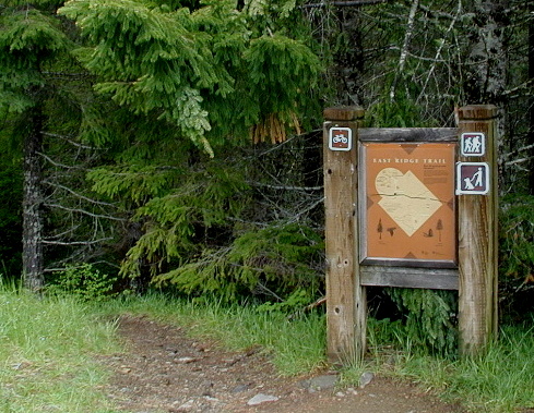
East Ridge Trailhead at Conner's Camp Parking Lot |
| Type: | Peak |
| Camping: | yes |
| Car_Trip: | yes |
| Cross_Country_Skiing: | yes |
| Family_Outing: | yes |
| Day_Hike: | yes |
| Mountain_Biking: | yes |
| Wildflowers: | yes |