| Title: | Luckiamute Landing State Natural Area |
| Area: | Polk and Benton County |
| Links: | Trip Journal - 9/12/2010, 6/2/2013
BLOG - 5/31/2013, 6/3/2013 |
| Notes: | The Luckiamute Landing State Natural Area is located at the confluence of the Santiam, Willamette, and Luckiamute Rivers. A North and a South Unit are located along Buena Vista Road. At the North Unit a one-mile trail leaves the parking lot to the southeast along the Willamette River. Or a mile and a half route past a gate on a dirt road along a field and through the woods takes you to a sand bar at the mouth of the Luckiamute River. At the South Unit you have the opportunity to explore some river bottom land and a couple of gravel pits.
|
| Route: |
For the North Unit: From Buena Vista travel 3 miles south, turning left on wooden bridge just past the concrete bridge over the Luckiamute River. Continue on gravel road half a mile to parking lot. For the South Unit: do not turn, just continue south on Buena Vista Road, Trailhead parking is on your left. |
| USGS_75: | Lewisburg |
| Reference: | Willamette Valley Birding Trail |
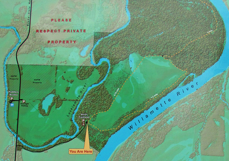
North Unit |
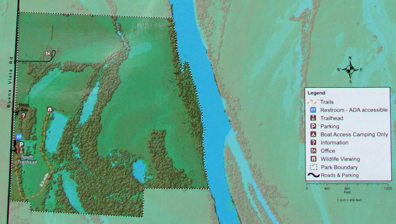
South Unit |
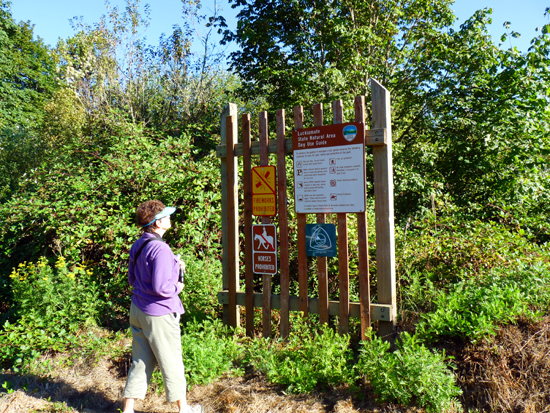
North Unit Trailhead Parking Area - - - - September 12, 2010 |
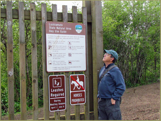
South Unit Trailhead Parking Area - - - May 22, 2011 |
| Type: | Trail |
| Family_Outing: | yes |
| Day_Hike: | yes |